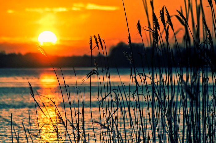
Black Warrior And Tombigbee Lakes
Park Information
The Black Warrior and Tombigbee Rivers have been important commercial waterways since the earliest settlers moved inland and built homes along the riverbanks.
Historic sites, picturesque terrain, and abundant recreational opportunities welcome visitors year-round to the 457 mile-long project in western Alabama.
Six lakes (Bankhead, Holt, Oliver, Warrior, Demopolis, and Coffeeville) are host to 35 Corps-operated recreation facilities.
Agency Name:
US Army Corps of Engineers
Directions
Please refer to the Black Warrior and Tombigbee Lakes web site for directions to each of our facilities.
Geographic Location
Additional Info
- “Black Warrior And Tombigbee Lakes Camping” – Recreation.gov. Accessed April 26, 2020. Link.
Contact Info
384 Resource Management Drive
Demopolis, AL
36732
Near By Parks
- Watercress Darter National Wildlife Refuge
- Noxubee National Wildlife Refuge
- William B Bankhead Conecuh Talladega Tuskegee National Forests
- Clay Creek
- Turkey Creek
- Perry Lake
- Longview Lake
- Phillips Lake
- Banks Lake
- Choctaw National Wildlife Refuge
Near By Campgrounds
- Burchfield Branch Park (AL)
- Chilatchee Creek (AL)
- Cochrane (AL)
- Deerlick Creek (AL)
- Forkland (AL)
- Foscue Creek (AL)
- Gunter Hill (AL)
- Isaac Creek (AL)
- Jennings Ferry (AL)
- Millers Ferry Campground (AL)
- Pickensville Cg (PICKENSVILLE AL)
- Prairie Creek (AL)
- Service (AL)
- Six Mile Creek (AL)
- Choctaw Lake (MS)
- Clarkco
- Dewayne Hayes (MS)
- Lake Lowndes
- Legion State Park
- Meridian East Toomsuba KOA
- Town Creek Campground West Point Ms
- Twiltley Branch (MS)


![How To Pick The Best Camper Levelers? [An Ultimate Buyer’s Guide] Best Camper Levelers](https://packyourgear.com/images/Best-Camper-Levelers-100x70.jpg)


