Meredosia National Wildlife Refuge
Park Information
Meredosia National Wildlife Refuge is located along the east side of the Illinois River in Cass and Morgan counties, about 50 miles west of Springfield, IL.
It is positioned in the upper end of the Alton navigation pool in an area that was historically known for its ability to sustain fish and wildlife.

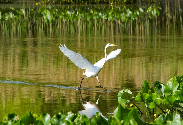
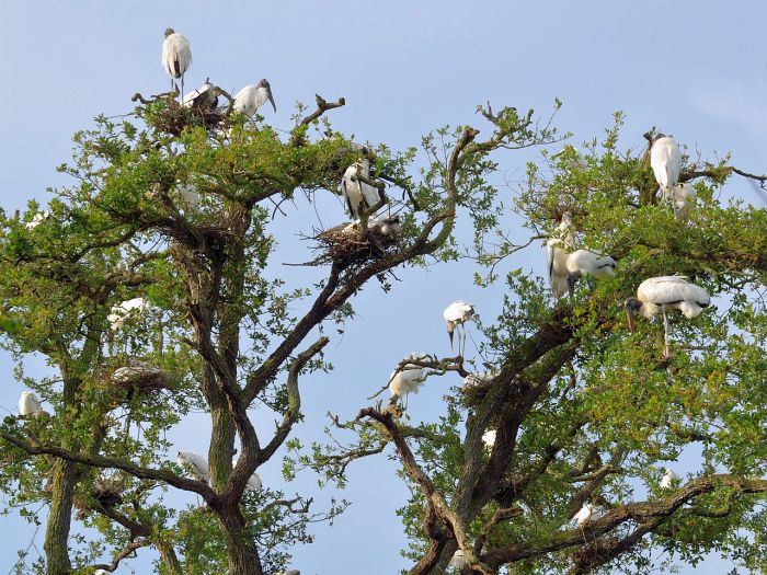
Land management programs are designed and administered to promote migratory bird, fish, and resident wildlife habitat in the Illinois River basin, while providing increased public recreation and educational opportunities.

When acquisition is complete, the refuge will include a combination of high quality backwater lake, bottomland forest, upland forest, prairie, seasonal wetland, and permanent marsh habitat.
As a functioning floodplain wetland complex, the refuge will play a vital role in perpetuating biological diversity in the Illinois River basin. When complete, Meredosia Refuge will total 5,255 acres.
At this time, 3,852 acres have been acquired. The refuge is part of the Illinois River National Wildlife Refuge Complex, with headquarters at Chautauqua Refuge, in Havana, Illinois.
Agency Name:
Fish and Wildlife Service
Directions
Meredosia Refuge is located immediately north of the Village of Meredosia, Illinois, along the Illinois River in Cass and Morgan counties. From IL 104W, follow Putman Street north through Meredosia to Beach Road. From IL 67S, take Kochs Lane to Beach Road. Visitor information is located on the west side of Beach Road.
Geographic Location
Contact Info
2219 Beach Road
Meredosia, IL
*
Near By Parks
- Jefferson National Expansion Memorial
- Lincoln Home National Historic Site
- Ulysses S Grant National Historic Site
- Great River National Wildlife Refuge
- Port Louisa National Wildlife Refuge
- Two Rivers National Wildlife Refuge
- Indian Creek Recreation Area
- Canton Lake
- Chautauqua National Wildlife Refuge
- Clarence Cannon National Wildlife Refuge
- Emiquon National Wildlife Refuge
Near By Campgrounds
- Argyle Lake State Park
- Beaver Dam State Park
- Boulder Day Use (IL)
- Clinton Lake State Recreation Area
- Dam West (DAY USE) (Il)
- Delabar State Park
- Edward Madigan State Fish And Wildlife Area
- Frank Holten State Recreation Area
- Horseshoe Lake Madison State Park
- Jim Edgar Panther Creek State Fish And Wildlife Area
- Jubilee College State Park
- Lotus Group Area (IL)
- Marshall State Fish And Wildlife Area
- Nauvoo State Park
- Opossum Creek (IL)
- Pere Marquette State Park
- Ramsey Lake State Recreation Area
- Sand Ridge State Forest
- Sangchris Lake State Recreation Area
- Siloam Springs State Park
- Weinberg King State Park
- Weldon Springs State Park
- Geode State Park
- Lacey Keosauqua State Park
- Shimek Forest Campground
- Bluffview (MARK TWAIN LAKE) (Mo)
- Frank Russell (MO)
- Indian Creek (MO)
- John Spalding Rec Ar (MO)
- Mw Boudr Group Use (MO)
- Ray Behrens (MO)
- Spillway Recreation Area (MO)
- St. Louis N.E. I 270 Granite City KOA
- St. Louis West Historic Route 66 KOA


![How To Pick The Best Camper Levelers? [An Ultimate Buyer’s Guide] Best Camper Levelers](https://packyourgear.com/images/Best-Camper-Levelers-100x70.jpg)


