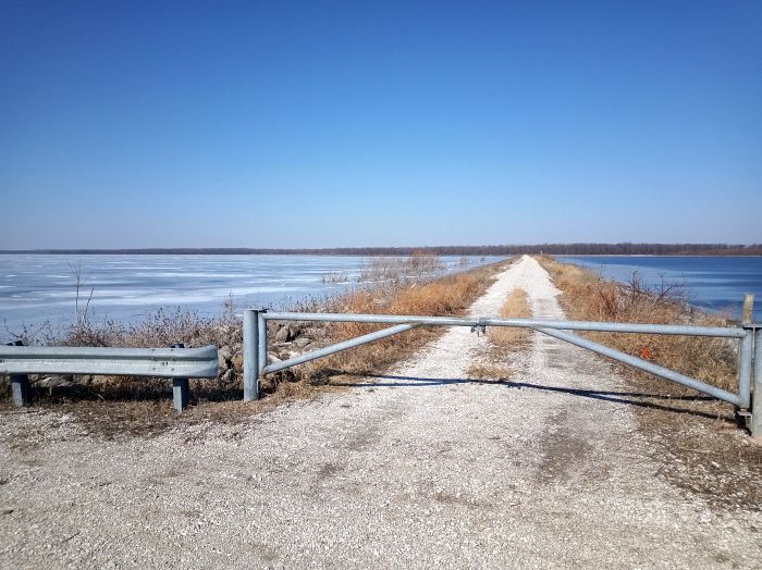
Chautauqua National Wildlife Refuge
Park Information
Chautauqua National Wildlife Refuge was established in 1936 by Executive Order 7524, which authorized the purchase of lands owned by the defunct Chautauqua Drainage and Levee District.
The refuge extends from Illinois River mile 124.0 to 129.5. It is an important link in the chain of resting, feeding, and wintering areas for waterfowl and other migratory birds in the Mississippi Flyway.
Under pristine conditions, this segment of the Illinois River floodplain was composed of a series of backwater lakes. In the early 1900s, like many floodplain wetlands, the area was diked, drained, and converted for agricultural production.
During the 1930s, a series of navigation locks and dams were built on the Illinois River for barge traffic. Commercial navigation and the diversion of Lake Michigan water down the Illinois River exacerbated the effects of agricultural uses by raising the low mean water levels by about four feet.
Chautauqua National Wildlife Refuge is the headquarters of the Illinois River National Wildlife and Fish Refuges Complex, which includes Emiquon and Meredosia refuges.
Agency Name:
Fish and Wildlife Service
Directions
Chautauqua Refuge is located 8 miles north of Havana, Illinois, and 30 miles south of Pekin, Illinois, on the Manito Blacktop. Turn onto 1950E. Travel one mile to 2110N to the visitor center or continue on 1950E for another 1.5 miles to the Eagle Bluff Access Area for fishing and wildlife viewing opportunities.
Geographic Location
Contact Info
19031 E. County Road 2110N
Havana, IL
62644
Near By Parks
- Lincoln Home National Historic Site
- Davenport Museum Of Art
- Great River National Wildlife Refuge
- Port Louisa National Wildlife Refuge
- Two Rivers National Wildlife Refuge
- Meredosia National Wildlife Refuge
- Lake Shelbyville
- Canton Lake
- Clarence Cannon National Wildlife Refuge
- Emiquon National Wildlife Refuge
Near By Campgrounds
- Argyle Lake State Park
- Beaver Dam State Park
- Clinton Lake State Recreation Area
- Coon Creek (IL)
- Dam East (DAY USE) (Il)
- Dam West (DAY USE) (Il)
- Delabar State Park
- Eagle Creek State Recreation Area
- Edward Madigan State Fish And Wildlife Area
- Fishermans Corner (IL)
- Forrest W. Bo Wood (DAY USE) (Il)
- Forrest W. Bo Wood (IL)
- Hidden Springs State Forest
- Illini State Park
- Jim Edgar Panther Creek State Fish And Wildlife Area
- Johnson Sauk Trail State Recreation Area
- Jubilee College State Park
- Lithia Springs (IL)
- Lone Point (DAY USE) (Il)
- Lone Point (IL)
- Marshall State Fish And Wildlife Area
- Moraine View State Recreation Area
- Nauvoo State Park
- Opossum Creek (IL)
- Pere Marquette State Park
- Prophetstown State Park
- Ramsey Lake State Recreation Area
- Rock Island Quad Cities KOA
- Sand Ridge State Forest
- Sangchris Lake State Recreation Area
- Siloam Springs State Park
- Spillway (IL)
- Starved Rock State Park
- Weinberg King State Park
- Weldon Springs State Park
- Wilborn Creek (GROUP CAMP) (Il)
- Wolf Creek State Park
- Clarks Ferry (IA)
- Geode State Park
- Shady Creek (IA)
- Shimek Forest Campground
- Wildcat Den State Park
- Bluffview (MARK TWAIN LAKE) (Mo)
- Frank Russell (MO)
- John Spalding Rec Ar (MO)
- Mw Boudr Group Use (MO)
- Spillway Recreation Area (MO)
- Bootleg (UT)
- Cats Paw Camp (UT)


![How To Pick The Best Camper Levelers? [An Ultimate Buyer’s Guide] Best Camper Levelers](https://packyourgear.com/images/Best-Camper-Levelers-100x70.jpg)


