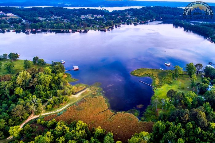
Guntersville Lake
Park Information
Guntersville Lake is more than 75 miles long and provides 67,900 surface acres making it the second largest lake in the TVA system.
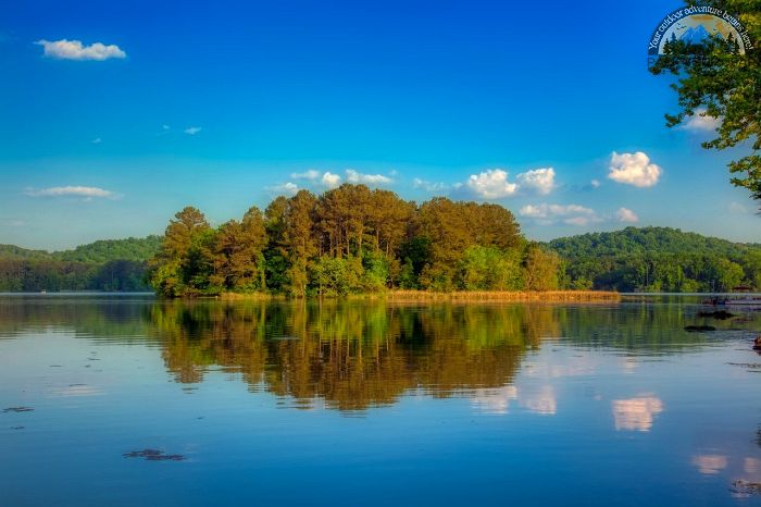
The lake is located in Jackson and Marshall counties in Alabama and Marion County in Tennessee. Nearby towns include Guntersville and Scottsboro, Alabama, and South Pittsburg, Tennessee.
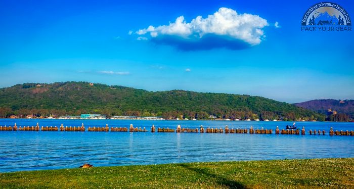
Guntersville is noted as one of the best largemouth bass fishing lakes in the region.
Agency Name:
Tennessee Valley Authority
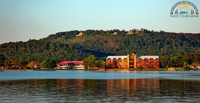
Directions
From Huntsville, AL, go east on Highway 72 or south on highway 431. From Chattanooga, go west on I-24 and take exit 152. Go south on Highway 72.
Geographic Location
Contact Info
Tennessee Valley Authority
Guntersville Watershed Team
2325 Henry Street
Guntersville, AL
35976
Near By Parks
- Chickamauga And Chattanooga National Military Park
- Little River Canyon National Preserve
- Russell Cave National Monument
- Anniston Museum Of Natural History
- Cahaba River National Wildlife Refuge
- Sauta Cave National Wildlife Refuge
- Watercress Darter National Wildlife Refuge
- Key Cave National Wildlife Refuge
- Wheeler National Wildlife Refuge
- Chickamauga Lake
- Nickajack Lake
- Guntersville Lake
- Tims Ford Lake
- Normandy Lake
- Riverview Campground
- Grayson Lake
- Center Hill Lake
- Allatoona Lake
- Carters Lake
- Blowing Wind Cave NWR
- Fern Cave National Wildlife Refuge
Near By Campgrounds
- Burchfield Branch Park (AL)
- Clear Creek (AL)
- Corinth Recreation Area (AL)
- Deerlick Creek (AL)
- Hidden Cove
- Houston Recreation Area (AL)
- Houston Shelter (AL)
- Calhoun KOA
- Mckaskey Creek Cg (GA)
- Mckinney Campground (GA)
- Old Hwy 41 No 3 (GA)
- Pocket Picnic Shelter (GA)
- Upper Stamp Creek Cg (GA)
- Chattanooga North Cleveland Koa
- Lookout Mtn. Chattanooga West Koa
- Manchester Koa
- Natchez Trace



![How To Pick The Best Camper Levelers? [An Ultimate Buyer’s Guide] Best Camper Levelers](https://packyourgear.com/images/Best-Camper-Levelers-100x70.jpg)


