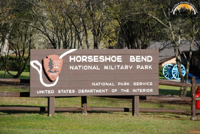
Horseshoe Bend National Military Park
Park Information

On the morning of 27 March 1814, General Andrew Jackson and an army of 3,300 men consisting of Tennessee militia, United States regulars and both Cherokee and Lower Creek allies attacked Chief Menawa and 1,000 Upper Creek or Red Stick warriors fortified in the “horseshoe” bend of the Tallapoosa River.
To seal off the bend of the river, the Upper Creeks built an incredibly strong 400 yard long barricade made of dirt and logs.
As the Cherokee and Lower Creek warriors swam the Tallapoosa and attacked from the rear, Jackson launched the militia and regular soldiers against the barricade. Facing overwhelming odds, the Red Sticks fought bravely yet ultimately lost the battle.
Over 800 Upper Creeks died at Horseshoe Bend defending their homeland. This was the final battle of the Creek War of 1813-14, which is considered part of the War of 1812. In a peace treaty signed after the battle, both the Upper and Lower Creeks were forced to give the United States nearly 20 million acres of land in what is today Alabama and Georgia.
The victory here brought Andrew Jackson national attention and helped him to be elected the seventh President of the United States in 1828. This 2,040-acre park preserves the site of the battle.
Agency Name:
National Park Service
Directions
Plane – The nearest commerical airports are located in Montgomery, AL (65 miles), Birmingham, AL (85 miles) or Atlanta, GA (110 miles).
Car – The park is located in east central Alabama, on State Highway 49, 12 miles north of the town of Dadeville, between the towns of Dadeville and New Site. Signs along U.S. Highway 280 and State Road 22 direct motorist to the park.
Public Transportation – The park is accessible only by personal vehicle or tour buses via state roads.
Geographic Location
Contact Info
11288 Horseshoe Bend Road
Daviston, AL
36256-9751
Additional Info
- “Horseshoe Bend National Military Park Symposium – Horseshoe Bend National Military Park (U.S. National Park Service)”. Accessed April 26, 2020. Link.
Near By Parks
- Museum Of Design
- Kennesaw Mountain National Battlefield Park
- Selma To Montgomery National Historic Trail
- Tuskegee Airmen National Historic Site
- Tuskegee Institute National Historic Site
- Anniston Museum Of Natural History
- Atlanta International Museum Of Art And Design
- High Museum Of Art
- Warm Springs National Fish Hatchery (Georgia)
- Watercress Darter National Wildlife Refuge
- William B Bankhead Conecuh Talladega Tuskegee National Forests
- Clay Creek
- Wheeler Lake
- Perry Lake
- Sutton Lake
- Center Hill Lake
- Carters Lake
- West Point Lake
- Eufaula National Wildlife Refuge
Near By Campgrounds
- Amity (AL)
- Bluff Creek (AL)
- Burchfield Branch Park (AL)
- Gunter Hill (AL)
- Hardridge Creek (AL)
- Prairie Creek (AL)
- Six Mile Creek (AL)
- White Oak (CREEK) Campground (Al)
- Clark Creek North (GA)
- Cotton Hill (GA)
- Holiday (GA)
- Mckinney Campground (GA)
- Old Hwy 41 No 3 (GA)
- R Shaefer Heard (GA)
- Whitetail Ridge (GA)


![How To Pick The Best Camper Levelers? [An Ultimate Buyer’s Guide] Best Camper Levelers](https://packyourgear.com/images/Best-Camper-Levelers-100x70.jpg)


